CoastEye Data Platform
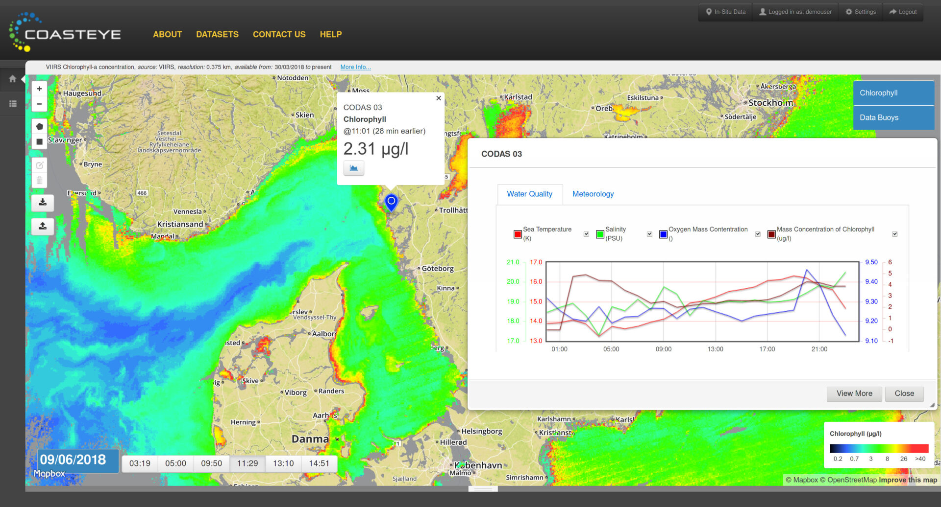
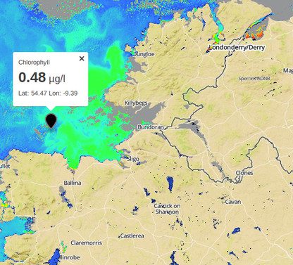
CoastEye is an intuitive and easy to access marine data acquisition, data management, data visualisation and decision support system, through which you can manage your data buoy or network and have live access to your in-situ data. It also provides easy access to satellite and/or model data from range of sources, depending on your needs
The system is designed to support organisations that base their decision making process on earth observation and in-situ data with a high-performance, customizable data extraction and analysis tool.
Coasteye combines web application and data server backed up by a powerful map server and spatial database, as well as data processing toolset.
Key Features Include:
- Ability to import data from a wide variety of data sources
- Layering of in-situ, earth observation and model data, providing both the temporal and spatial data needed to manage your operations
Please contact us to schedule a presentation and access the demo.