Coastal Engineering
High-quality oceanographic surveys are often needed to provide a reliable basis for understanding and reporting local conditions, developing cost-effective coastal engineering design criteria, and providing databases for the calibration and verification of numerical models.
With a strong background in operational oceanography, we understand the importance of collecting accurate data in support of such coastal engineering projects. Typical services we offer this sector include:
- Metocean surveys (including ADCP Surveys, Water quality surveys and water and sediment sampling for laboratory analysis)
- Real-time system integrations (real-time acquisition and transmission of to web portal (CoastEye )
- ROV inspection (site investigation and structural assessments)
- Data management and dissemination (quality assurance, maintenance of web-portal)
- Sale or rental of metocean monitoring equipment (TMBB, represented partner sensors)
Reporting Recent projects include:
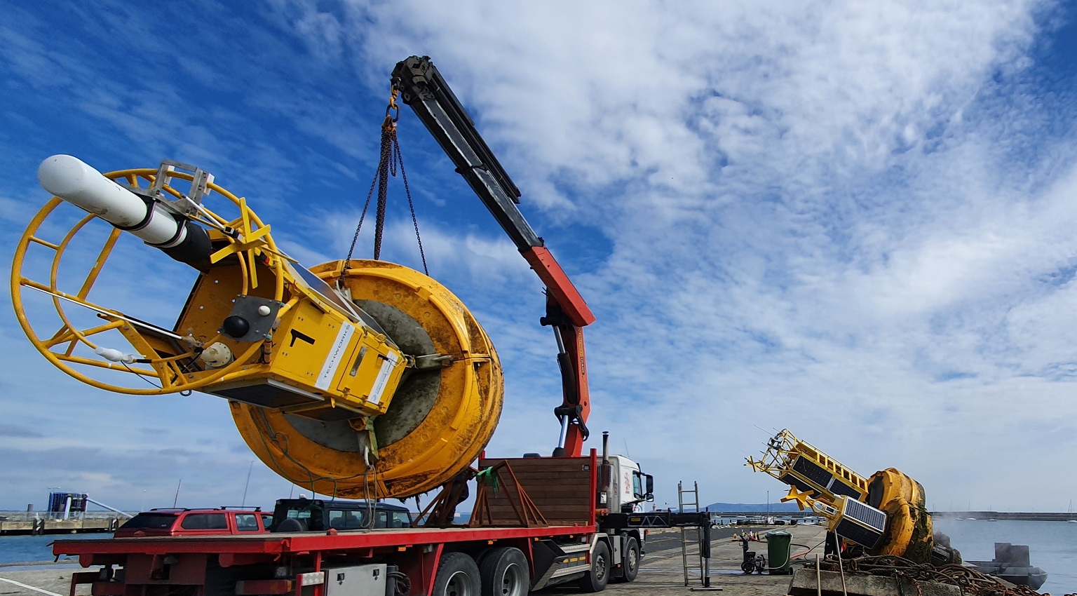
- Dublin Port, ABR project: 4- year real-time metocean and water quality data buoy deployment in Dublin Bay, Ireland
- Killybegs Harbour development: Provision of 5 real-time water quality monitoring data buoys.
- Killybegs Harbour development: Provision of Metocean ADCP survey in Donegal Bay for model validation. Including provision of wave model data.

